 My Dream Peaks

- Start
- Round Table (A27/A36 junction)
- Total gain
- 240 m Estimate
- Length
- 4 km Estimate
Short straight footpath from the saddle (on the Bayr ny Skeddan route and A27/A36 roads) to the summit.
Learn more: Wikipedia
483 m 1,585 ft

483m high mountain in Isle of Man
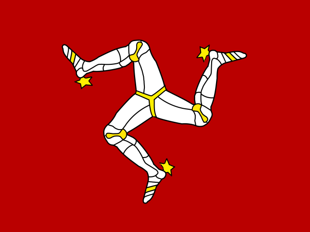 Isle of Man (IM)
South Barrule is crowned by an Iron Age hillfort tied to the Manx sea god Manannan, and its top looks over the south of the island, the Calf of Man and, on clear days, all the surrounding nations.
Short footpath walk from the Round Table saddle to an Iron Age hillfort summit.
A short, easy walk to an open summit; nothing technical.
Short straight footpath from the saddle (on the Bayr ny Skeddan route and A27/A36 roads) to the summit.
Learn more: Wikipedia
Route guides and trip reports: Hill Bagging (DoBIH)
Loading forecast…
More forecasts: yr.no · meteoblue · Windy · Mountain-Forecast.com
Suggestions: Vulcano similar hiking peak Mount Tabor similar hiking peak Mount Obama similar hiking peak Snaefell nearest higher peak
| Peak | Elevation | Distance |
|---|---|---|
| Dalby Mountain | 280 m | 2.7 km |
| Cronk ny Arrey Laa | 437 m | 3.5 km |
| Slieau Whallian | 333 m | 4.6 km |
| Archallagan Hill | 213 m | 5.1 km |
| Raby Moar Hill | 128 m | 5.3 km |
| Lhiattee ny Beinnee | 301 m | 5.5 km |
| Slieau Chiarn | 194 m | 5.9 km |
| The Mount | 222 m | 6.5 km |
| St John's Hill | 100 m | 6.7 km |
| Ballafurt Hill | 94 m | 7.3 km |
| Corrins Hill | 150 m | 7.6 km |
| Beary Park | 310 m | 8.5 km |
AI-assisted research from the cited sources (November 2026, confidence: low). Figures marked estimate are not official counts. Always check current conditions and local advice before you go.