 My Dream Peaks

- Total gain
- 500 m Estimate
- Length
- 8 km Estimate
No published route description was found in the sources consulted; trailhead, ascent and time are unknown.
Learn more: Wikipedia · Wikipedia (fr)
2,684 m 8,806 ft

Mountain
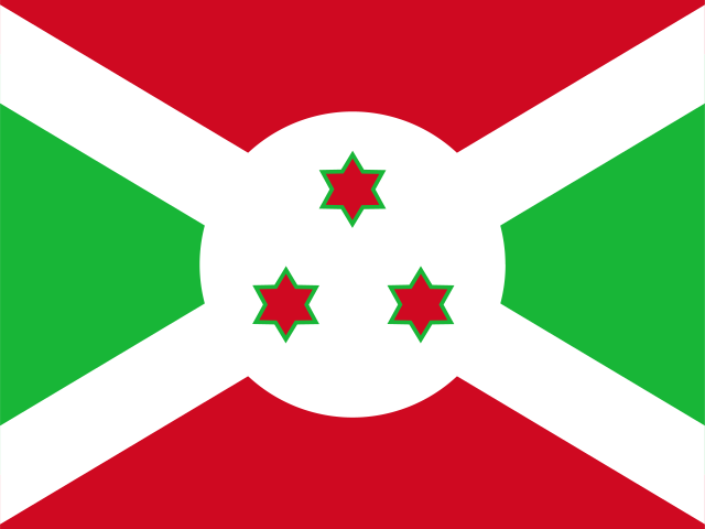 Burundi (BI)
It is the highest point of Burundi, so it mainly attracts country high-pointers; it rises in the highlands above Lake Tanganyika, roughly 20 km east of the lake shore.
Burundi's high point is a 2,684 m summit in the farmed Burundi highlands about 30 km from Bujumbura; no technical terrain or multi-day approach is described, but no route description could be found, so details are unknown.
Very little is documented about climbing Burundi's highest point: no trailhead, route or timing information was found. Plan with local help.
No published route description was found in the sources consulted; trailhead, ascent and time are unknown.
Learn more: Wikipedia · Wikipedia (fr)
Route guides and trip reports: Peakbagger
Loading forecast…
More forecasts: yr.no · meteoblue · Windy · Mountain-Forecast.com
Suggestions: Mount Kosciuszko similar hiking peak Baekdu Mountain similar hiking peak Mount St. Helens similar hiking peak Mont Mohi nearest higher peak Mount Everest on the same list
AI-assisted research from the cited sources (November 2026, confidence: low). Figures marked estimate are not official counts. Always check current conditions and local advice before you go.
Where sources disagree we show the value from our main data source and note the conflict. All data notes