Togo's highest point rises about 700 m straight out of the surrounding plateau, so the summit gives a wide view that reaches into Ghana. The walk up passes villages, streams, a waterfall and cocoa and coffee country near Kpalimé, with relics of the colonial era near the top.
A paved road reaches the summit, but most visitors walk up local footpaths in anything from a few minutes to about 3 hours, all non-technical.
Dangers and challenges
Mount Agou is an easy walk: a paved road goes to the summit and village footpaths offer walks of up to about three hours. The main issues are heat, humidity and finding the right path.
MediumHeatTropical humid lowland climate; the climb from the plain is hot.
LowNavigationNetwork of unmarked village paths; local guides are common.
Fun facts
An exoplanet orbiting the star WASP-64, about 1,200 light-years away, was named Agouto after the mountain following a 2019 proposal by Togolese amateur astronomers. source
Under German colonial rule it was called Baumannspitze, after the geographer Oscar Baumann. source
A local legend tells that newcomers bought as much land as a sheepskin could cover and then cut the skin into strips to encircle the mountain, echoing the story of Dido and Carthage. source
Routes
Village footpaths from the Agou areanormal routeHikingTechnical 2/7Effort 2/7 · Moderate est.1 day on the mountainAltitude Low
Total gain
600 m Estimate
Length
9 km Estimate
Duration
1 day
Unpaved local paths crossing streams and passing a waterfall; walks take a few minutes to about 3 hours depending on the starting point. No official grade.
Gear: water, sun protection
Permits: Local authorities run checkpoints and charge tourists a climbing fee (amount not found).
AI-assisted research from the cited sources (November 2026, confidence: medium). Figures marked estimate are not official counts. Always check current conditions and local advice before you go.
 My Dream Peaks

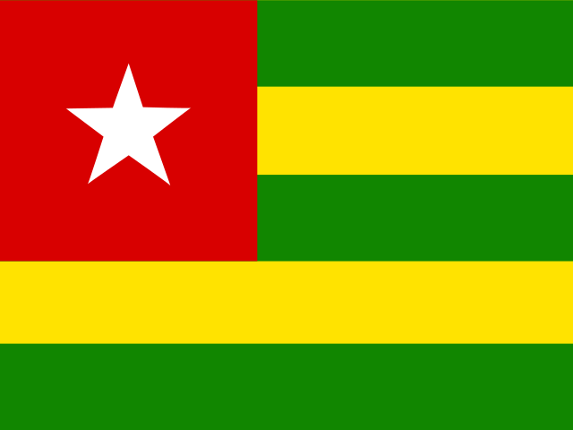 Togo (TG)
