Mount Sabyinyo

3,669 m 12,037 ft

Mount Sabyinyo
Hiking Technical 3/7 Effort 3/7 · Demanding Length 6–8 h Altitude High T4 (SAC)
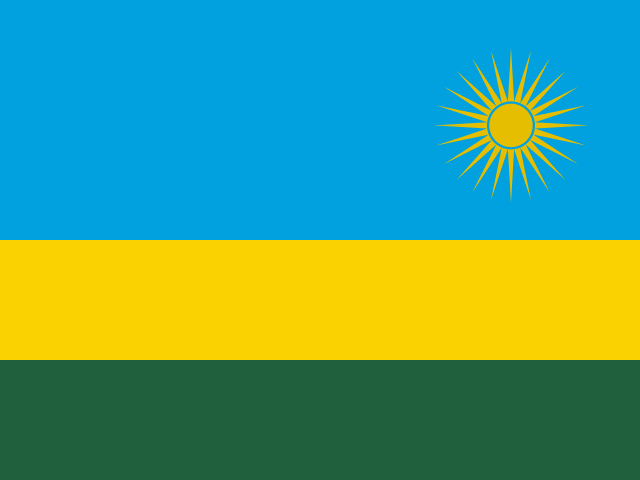
  • 3rd highest peak in Rwanda
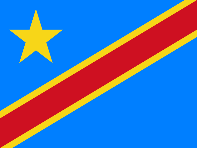
  • 5th highest peak in Dem. Rep. Congo
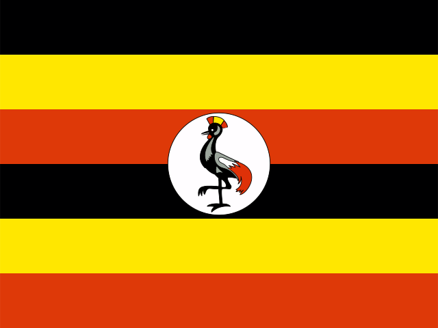
  • 6th highest peak in Uganda

Mountain in eastern Africa

Range: Africa › East African Highlands › Albertine Rift Mountains › Virunga Mountains

Mount Sabyinyo
Wikimedia Commons
Elevation
3,669 m 12,037 ft
1 other figure
3,645 m (Wikidata)
Prominence
1,046 m 3,432 ft
Oxygen on the summit
≈ 63% of sea level · Very high altitude
Type
Volcano
Countries
Rwanda (RW), DR Congo (CD), Uganda (UG)
Province
Northern
Coordinates
-1.4000, 29.6000
approximate (±1.9 km)

Why climb Mount Sabyinyo?

Sabyinyo is the most rugged of the Virunga volcanoes: a crenellated ridge, ladders and a finish on the point where three countries meet. The slopes are mountain gorilla habitat, and the climb is a fun, varied day out.

Normal route
East ridge from Mgahinga park HQ (Uganda)
6–8 h · 1,450 m gain Estimate · 14 km
Best season
Winter, Jun–Sep: long dry season
Summer, Dec–Feb: short dry season

A guided day hike (about 8 hours, 14 km) along a ridge over three summits, with ladders and scrambling but no rope or glacier gear.

Dangers and challenges

A ridge hike over Sabyinyo's three serrated summits, ending with steep ladders and scrambling to the tripoint. Wet conditions make the exposed sections the main hazard.

  1. Medium Exposure / falls Narrow ridge with steep drops into gorges and wet ladders near Peak III.
  2. Medium Weather Rain makes the ridge, ladders and mud slippery.
  3. Low Physical endurance Long day over three successive summits.

Fun facts

Routes

East ridge from Mgahinga park HQ (Uganda) normal route Hiking Technical 3/7 Effort 3/7 · Demanding Length 6–8 h Altitude High T4 (SAC)
Start
Mgahinga Gorilla NP headquarters
Total gain
1,450 m Estimate
Length
14 km
Duration
6–8 h

Ridge with steep drops over three peaks; final climb to Peak III is steep with several ladders and scrambling.

Technical: ladders, scrambling, exposed ridge

Gear: boots, rain gear, gloves for ladders

Permits: Volcano climbing fee US$80 (non-resident foreigner, Wikivoyage fee table, date not stated); guide and armed ranger mandatory.

Learn more: mgahinganationalpark.org · mgahinganationalpark.org · en.wikivoyage.org

Weather forecast

Loading forecast…

More forecasts: yr.no · meteoblue · Windy · Mountain-Forecast.com

Compare Mount Sabyinyo with…

Suggestions: Mount Etna similar hiking peak Teide similar hiking peak Mauna Kea similar hiking peak Mount Muhabura nearest higher peak

Map and nearby peaks

PeakElevationDistance
Mount Gahinga3,474 m5.0 km
Mount Muhabura4,127 m8.8 km
Bisoke3,711 m14.1 km
Mount Bisoke3,711 m14.8 km
Bufumbira2,440 m17.1 km
Birwa1,757 m17.8 km
Mount Karisimbi4,507 m20.4 km
Mount Mikeno4,437 m21.5 km
Kilimbogo2,736 m33.0 km
Kabuye2,643 m33.1 km
Marenga2,770 m37.2 km
Mount Nyiragongo3,470 m41.3 km

On lists

Other names

1 more names
  • サビニョ山 ja

Sources

AI-assisted research from the cited sources (November 2026, confidence: medium). Figures marked estimate are not official counts. Always check current conditions and local advice before you go.

  1. Mount Sabyinyo – Wikipedia
  2. Mgahinga National Park (operator site)
  3. 3-day hiking & gorilla tour, Mgahinga (operator)
  4. Mgahinga Gorilla National Park – Wikivoyage
  5. Mount Karisimbi – Wikipedia

Data notes

Where sources disagree we show the value from our main data source and note the conflict. All data notes

Elsewhere