 My Dream Peaks
Hut
Refuge de Chalance
2,535 m · Hautes-Alpes · France
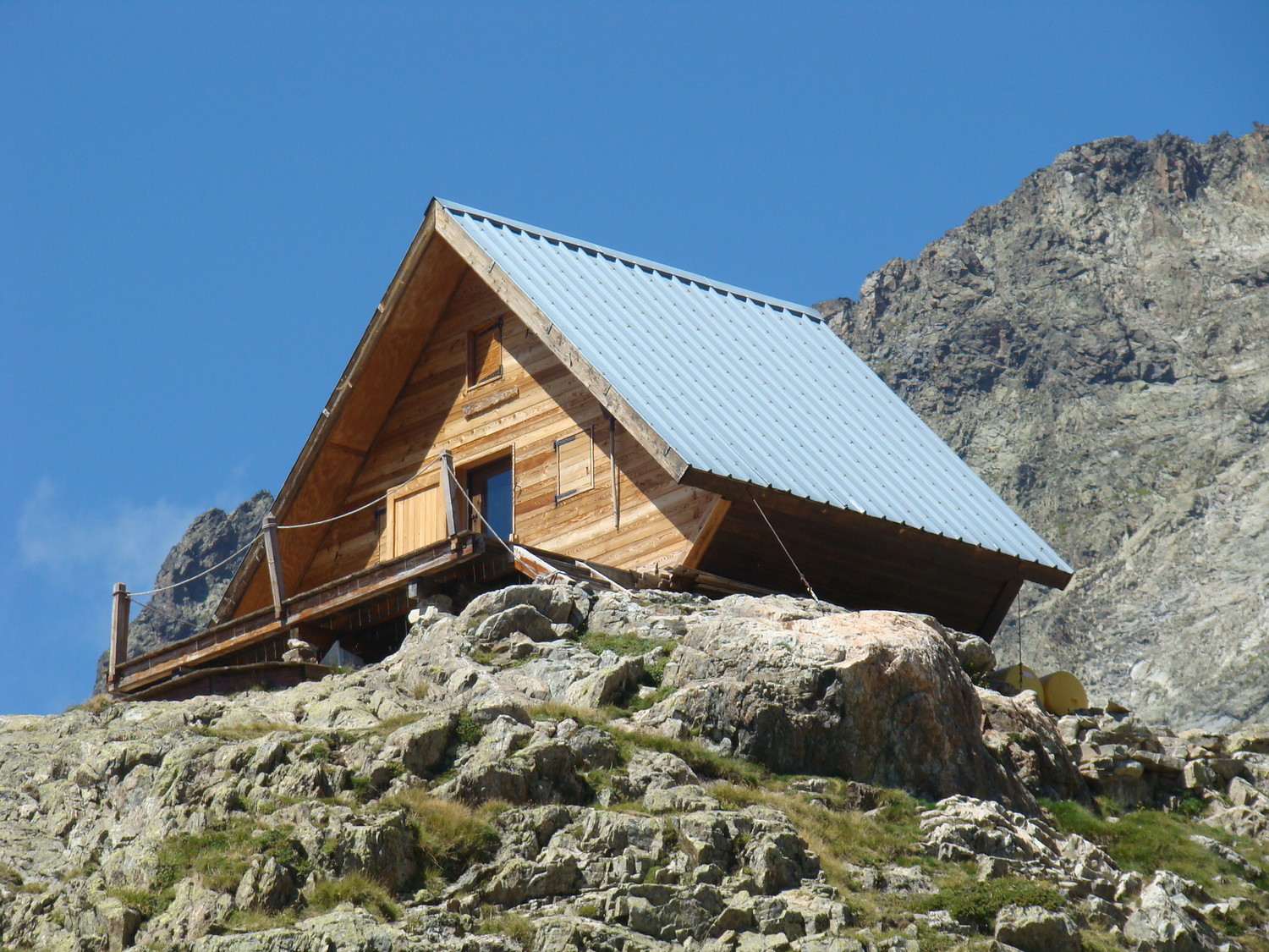
A small unstaffed wooden refuge of the Gap section of the French Alpine Club, perched on a rocky terrace on the north side of the Valgaudemar in the core zone of the Écrins National Park. It is the highest refuge in the Valgaudemar, reached by a steep 1,200 m climb from the hamlet of Rif du Sap. From its south-facing terrace you look across the valley to the north face of the Sirac, the Pic Jocelme, the Pic du Loup and Les Bans. Hikers come for the quiet and the view; climbers and ski tourers use it for the Rouies, the Cime du Vallon and the high cols towards the Olan and Pigeonnier refuges.
Not staffed · open all year; unstaffed but looked after by the CAF Gap (a keeper comes up from time to time) · 11 beds
Good to know
- At the start of the trail there is a letterbox with a logbook where you sign in and can see how many people are already up there. ↗
- There is no water inside; an outdoor tap runs only in season. Fill up on the way, where a sign marks a water point on the traverse below the slabs at about 2,350 m. ↗
- Dry toilets were installed behind the hut in 2016. ↗
Getting there and climbing from here
- From Rif du Sap car park (1,407 m), on the road to the Gioberney above La Chapelle-en-Valgaudemar · Steep zigzag path past the Muande shepherds' hut, then cairned ground with easy rock steps to the terrace · about 4 h, +1,200 m
- From Le Casset, La Chapelle-en-Valgaudemar (1,144 m) · Winter and spring start point (ski touring); avalanche terrain on a steep south-facing slope
Base for: Les Rouies (south-west ridge; the Tour des Rouies on skis) · Cime du Vallon (alpine route listed by the hut) · Pointe de la Muande (via the Col de la Muande)
Staying: No booking possible. Sign the logbook at the trailhead; if it is full, be ready to sleep on the terrace with your own gear. Mattresses, blankets, gas rings and cooking gear inside. ↗
Peaks it serves
- Les Rouies 3,589 m · last night before the summit
- Cime du Vallon 3,409 m · last night before the summit
- Col de la Muande 3,103 m · last night before the summit
- Col de Chalance 3,012 m · last night before the summit
- Olan 3,564 m · 3.7 km away
Routes
- Les Rouies: Arête SW last night here · PD+
- Cime du Vallon: La Chalancée du Bâton (Arête S de la pointe 3156 m) last night here · AD
- Col de la Muande: Pointe de la Muande : Versant S du Col de la Muande puis versant W last night here · PD
- Col de Chalance: Versant S par le refuge de Chalance last night here · T4
- Col de Chalance: Cime du Vallon : La Chalancée du Bâton (Arête S de la pointe 3156 m) last night here · AD
Weather forecast
Loading forecast…
More forecasts: Météo-France mountain · yr.no · meteoblue · Windy · Mountain-Forecast.com
Avalanche danger: Météo-France avalanche risk — always read the current bulletin.
Map
Nearby: Valgaudemar - Le Bourg trailhead · 1,170 m · 2.0 km · Lac de la Muande lake · 2,380 m · 2.5 km · Le Rif du Sap trailhead · 1,420 m · 2.5 km · Refuge de l'Olan hut · 2,345 m · 2.5 km · Valgaudemar - Le Casset trailhead · 1,150 m · 2.7 km · Glacier des Sellettes glacier · 2,737 m · 3.0 km · Refuge du Clot - Xavier-Blanc hut · 1,397 m · 3.4 km · Lac des Rouies lake · 2,722 m · 3.9 km
Links
- FFCAM refuge page official website
- CAF Gap (managing section) operator
- Camptocamp
- Refuges.info (hut reports from visitors, French)
Sources
Researched 2026-11-15 (medium confidence) from: refugedechalance.ffcam.fr/ · refugedechalance.ffcam.fr/acces.html · refugedechalance.ffcam.fr/activites.html · gap.ffcam.fr/ · geotrek-admin.ecrins-parcnational.fr/api/v2/t... · www.refuges.info/point/1276/ · www.camptocamp.org/waypoints/104044 · fr.wikipedia.org/wiki/Valgaudemar · api.camptocamp.org/images/233346
Camptocamp (CC BY-SA)