 My Dream Peaks
Hut
Refuge de Tarkeddit
2,900 m · Suss-Massa-Draa · Morocco
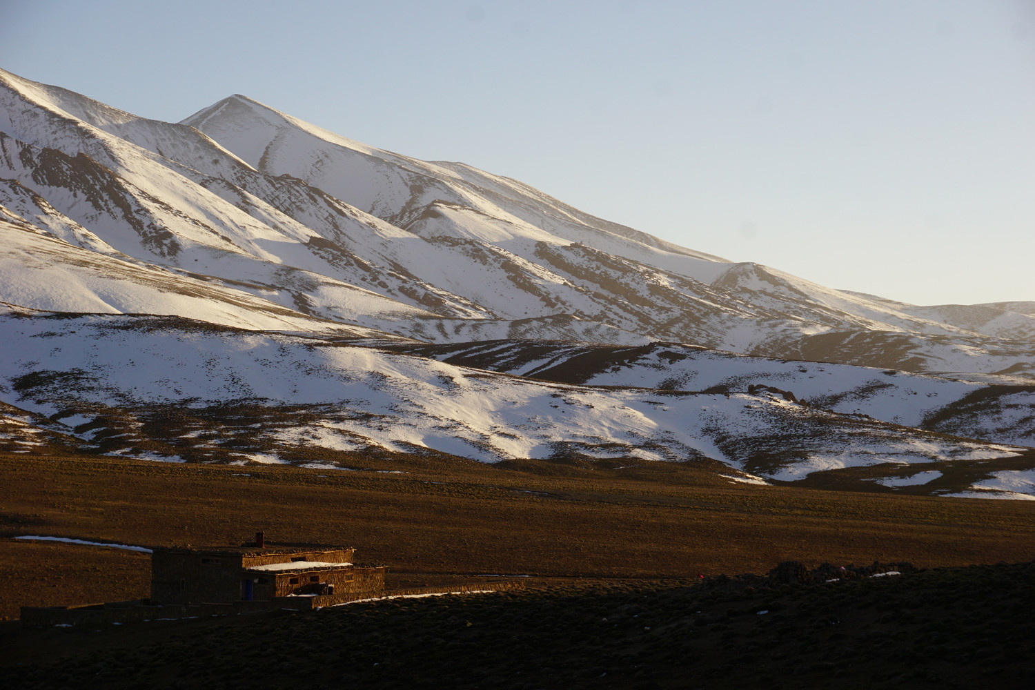
A low stone refuge on the high Tarkeddit plateau below the north side of the Ighil M'Goun ridge in Morocco's central High Atlas, inside the M'Goun UNESCO Global Geopark. It is the usual overnight stop for the ascent of M'Goun (4,071 m) from the Aït Bougmez valley, and trekking groups camp on the grazing plateau around it. Water comes from a spring on the plateau a short walk away.
Staffed in season · keeper comes up on request; winter stays by reservation
Good to know
- The most-used way up M'Goun is a loop of at least four days: Aït Bougmez – Tarkeddit – Ighil M'Goun – Oulilimt valley – back to Aït Bougmez. ↗
- The keeper is not always at the refuge; he comes up from the valley when told someone is coming, and he can also arrange mules. ↗
- Camping beside the refuge is allowed, and there is a spring about 150 m south-east on the plateau. ↗
Getting there and climbing from here
- From Arous (about 1,900 m), Aït Bougmez side · Up the valley past Azib Ikkis, a 1,000 m climb to the Tizi n'Tarkeddit pass (about 3,370 m), then about 500 m down to the plateau and 2 km west
- From Aït Saïd (1,850 m) · Via Arous and Ikkis, over a 3,380 m ridge, about 19 km, +1,620 m
Base for: M'Goun (normal route via the E1 top and the summit ridge)
Staying: Call the keeper in advance; meals, hot showers and camping beside the refuge are offered. ↗
Peaks it serves
- M'Goun 4,071 m · last night before the summit
Routes
- M'Goun: Aït Bouguemez – Arous valley – Tarkeddit plateau last night here · T3–T4
- M'Goun: Out-and-back from Tarkeddit refuge starts here · T3
- M'Goun: Out-and-back from Tarkeddit refuge last night here · T3
- M'Goun: Ighil M'Goun : En aller-retour depuis le refuge de Tarkeddit last night here · T3
- M'Goun: Ighil M'Goun : Ighil M'Goun par la vallée d'Arous-Azib Ikkis et Plateau Tarkeddit last night here · T4
- M'Goun: Djebel M'Goun - par la vallée d'Arous - plateau et ref. Tarkeddit - Oulilimt (bivouac) last night here · T4
- M'Goun: Ighil M'Goun : en boucle depuis la vallée des Ait Bou Oulli last night here
- M'Goun: M'Goun West : M’Goun depuis Aït Sàid last night here · T4
Weather forecast
Loading forecast…
More forecasts: yr.no · meteoblue · Windy · Mountain-Forecast.com
Map
Nearby: Ikkis hut · 2,280 m · 6.1 km · Arrous trailhead · 1,910 m · 9.3 km · La maison Imazighene Sidi Moussa lodge · 1,750 m · 14.7 km
Links
Sources
Researched 2026-11-15 (low confidence) from: www.camptocamp.org/waypoints/1066137 · www.refuges.info/point/10726 · summitpost.org/ighil-m-goun/807425 · www.i-trekkings.net/carnet-outdoor/trek-dans-... · fr.wikipedia.org/wiki/M%27Goun
Camptocamp (CC BY-SA)