 My Dream Peaks
Peter Zaitsev visited Abri Simond on 17 May 2026
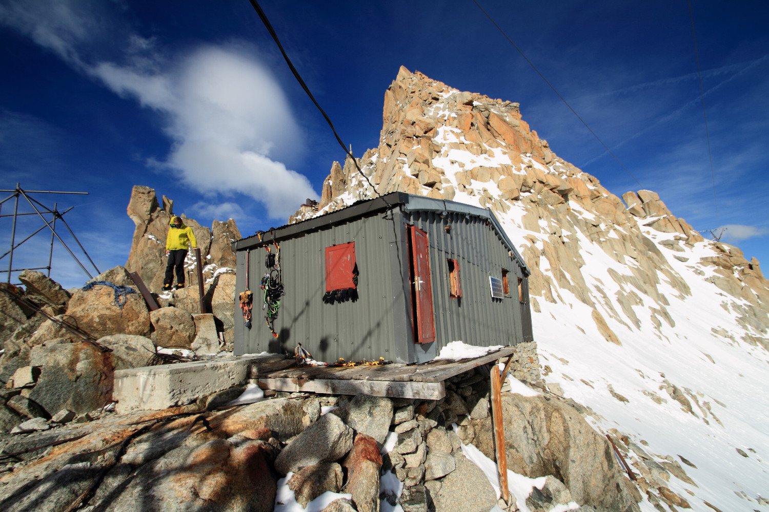
Shelter · 3,600 m · France · went on beyond it
Part of a multi-day climb: Climbing Cosmiques Ridge, Chamonix · 14 May – 17 May 2026
GPS track from Garmin · view on Garmin Connect
On this outing: Refuge des Cosmiques 3,613 m (start)Mer de Glace 1,500 mAbri Simond 3,600 mPiton Nord of Aiguille du Midi 3,795 mTéléphérique de l'Aiguille du Midi 3,792 m (end)
Track
On the way
- summit Piton Nord of Aiguille du Midi 3,795 m · 10:21
- Refuge des Cosmiques hut · 3,613 m · 07:13
- on the ice Mer de Glace glacier · 220 m on the ice · 1,500 m · 07:15
For privacy, the track within 200 m of where the activity started and ended is left out.
Elevation by time
Elevation by distance
Time in heart-rate zones
| below zone 1 | Zone 1 | Zone 2 | Zone 3 | Zone 4 | Zone 5 | |
|---|---|---|---|---|---|---|
| Way there | – | – | 1 min 13% | 4 min 67% | 1 min 20% | – |
| At the shelter | – | – | 4 min 13% | 18 min 63% | 7 min 24% | – |
| Onward | 2 min 2% | 22 min 16% | 57 min 42% | 37 min 27% | 16 min 12% | 1 min 1% |
| Whole activity | 2 min 1% | 22 min 13% | 62 min 36% | 59 min 35% | 25 min 14% | 1 min 1% |
From every heart-rate reading (as Garmin counts it), by your Garmin zones.
Numbers as a table
| Time | Distance | Gain | Loss | m/h | HR (1-min) range | HR avg | TRIMP | aTRIMP | Edwards TRIMP | Hypoxic dose | |
|---|---|---|---|---|---|---|---|---|---|---|---|
| Way there | 0 h 06 min | 0.1 km | 6 m | 40 m | 58 | 122–149 | 137 | 10 | 12 | 19 | 0.4 km·h |
| At the shelter | 0 h 29 min | 0.2 km | 99 m | 0 m | 205 | 111–154 | 138 | 48 | 54 | 90 | 1.8 km·h |
| Onward | 2 h 33 min | 0.4 km | 166 m | 44 m | 65 | 93–162 | 120 | 152 | 172 | 319 | 9.5 km·h |
| Whole activity | 3 h 08 min | 0.7 km | 273 m | 84 m | 87 | 93–162 | 124 | 210 | 238 | 428 | 11.7 km·h |
How these numbers are worked out
The way there runs from the start of the activity to the first moment within the shelter's radius; the time at the shelter lasts until the last moment within it (stepping away for under 20 minutes counts as still being there); the rest is the way back, or onward when the track went more than 60 m higher than the shelter. A night is counted when the activity ended at the shelter and your next track started there.