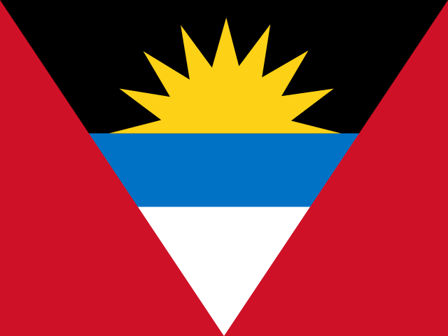
Mount Obama

also known as Boggy Peak

402 m 1,319 ft

Mount Obama
Hiking Technical 2/7 Effort 1/7 · Easy est. Altitude Low
  • Highest peak in Antigua and Barb.

Mountain in Antigua and Barbuda

Range: Shekerley Mountains

Mount Obama
Wikimedia Commons
Elevation
402 m 1,319 ft
Prominence
402 m 1,319 ft
Type
Mountain
Country
Antigua and Barb. (AG)
Parish
Saint Mary
Coordinates
17.0448, -61.8612

Why climb Mount Obama?

It is the highest point of Antigua and Barbuda, an easy country high point for island visitors. The hill carries a layered history of plantation-era escape stories and a brief official renaming, and the summit looks out over the island's southwest coast.

Normal route
Trail to the summit (Shekerley Mountains, southwest Antigua)
400 m gain · 5.5 km

A 402 m forested high point of Antigua in the Shekerley Mountains with a trail to the top; a short, non-technical day walk.

Dangers and challenges

A short but steep walk up Antigua's highest hill; the main challenges are heat and the scarcity of up-to-date trail information while a national park is being established.

  1. Medium Heat Tropical heat and humidity on a steep, partly forested climb.
  2. Low Navigation Little published trail information; local knowledge helps.

Fun facts

Routes

Trail to the summit (Shekerley Mountains, southwest Antigua) normal route Hiking Technical 2/7 Effort 1/7 · Easy est. Altitude Low
Total gain
400 m
Length
5.5 km

Steep but non-technical walk on a hill trail; no published grade. Distance and ascent are PeakVisor's computed one-way approach (about 1.7 mi, ~1,312 ft gain, ~1h15), doubled here for the round trip.

Permits: None documented; a Boggy Peak National Park is being set up by the Department of Environment, so check current access rules.

Learn more: PeakVisor · equatorinitiative.org

Route guides and trip reports: Peakbagger

Weather forecast

Loading forecast…

More forecasts: yr.no · meteoblue · Windy · Mountain-Forecast.com

Compare Mount Obama with…

Suggestions: Vulcano similar hiking peak Fagradalsfjall similar hiking peak Mount Hillaby similar hiking peak Chances Peak nearest higher peak Mount Everest on the same list

Map and nearby peaks

PeakElevationDistance
Botts Peak138 m0.8 km
Rock Peak287 m2.0 km
Cade Peak153 m2.2 km
Bolans Hill20 m2.3 km
Sage Hill238 m2.4 km
Garden Hill135 m2.4 km
McNish Mountain339 m2.5 km
Jolly Hill37 m2.9 km
Crab Hill152 m2.9 km
Cocks Hill20 m3.0 km
Green Castle Hill162 m3.5 km
Monteros Hill154 m4.4 km

On lists

Other names

13 more names
  • Абама be
  • Обама ru
  • Обама (гора) uk
  • Օբամա hy
  • הר אובמה he
  • اوباما غر ps
  • بوگی پیک ur
  • جبل اوباما arz
  • چیای ئۆباما ckb
  • قله بوگای fa
  • オバマ山 ja
  • 奧巴馬山 yue
  • 歐巴馬山 zh

Sources

AI-assisted research from the cited sources (November 2026, confidence: low). Figures marked estimate are not official counts. Always check current conditions and local advice before you go.

  1. Boggy Peak - Wikipedia
  2. Boggy Peak - PeakVisor
  3. Antigua and Barbuda Mountains - PeakVisor
  4. Wallings Nature Reserve - Equator Initiative
  5. Shekerley Mountains - Wikipedia

Data notes

Where sources disagree we show the value from our main data source and note the conflict. All data notes

Elsewhere