It is the roof of Lebanon and the Levant, a bare limestone dome where you can see the Mediterranean on one side and the Bekaa Valley on the other. The walk is non-technical in summer and pairs naturally with the cedar groves and Qadisha Valley below.
Normal route
Summer hike via tracks from the Ehden / Cedars side
Accessible roughly late April to early October; deep snow in winter.
Lebanon's high point is reached on non-technical hiking trails and tracks in summer; no hut or technical gear is needed.
Dangers and challenges
A non-technical summer hike to Lebanon's highest point; the main issues are wind exposure, cold and snow outside the summer window. Sources found give no reliable trailhead, time or ascent figures.
MediumWeatherConstant strong westerly/northerly winds with no shelter; cold at night even in summer.
LowOtherSinkholes (swallow-holes) and old snow patches on the summit plateau.
LowNavigationSeveral nearby tops share the same name; check coordinates.
Fun facts
At 3,088 m it is the highest point not only of Lebanon but of the whole Levant, and an ultra-prominent peak. source
Its Arabic name means 'the Black Corner', while the Syriac name Qornet Sohde means 'Martyrs' Peak'. source
The medieval Golden Legend places Noah replanting a sacred tree on this summit after the flood. source
Routes
Summer hike via tracks from the Ehden / Cedars sidenormal routeHikingTechnical 2/7Effort 3/7 · Demanding est.Altitude Moderate
Total gain
1,100 m Estimate
Length
16 km Estimate
Non-technical walk on tracks and rough ground; lingering snow patches can remain into summer.
AI-assisted research from the cited sources (November 2026, confidence: low). Figures marked estimate are not official counts. Always check current conditions and local advice before you go.
 My Dream Peaks

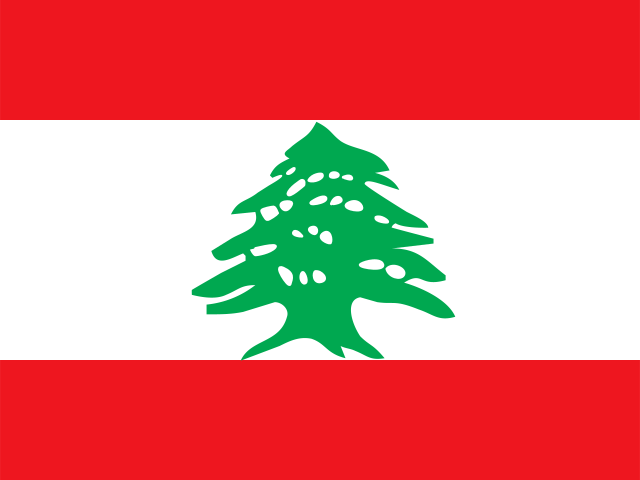 Lebanon (LB)
