 My Dream Peaks
Flat coral island; the high ground is a short walk from the landing.
Permits: Visits are reached on government inter-island ships from Funafuti; landing is by small tender through a narrow reef cut.
Learn more: Wikipedia · thetripverdict.com
16 m 52 ft
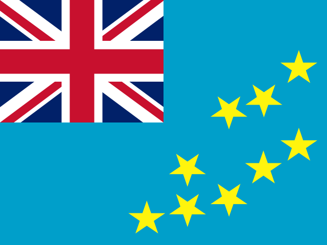 Tuvalu (TV)
Tuvalu's highest ground is only a few metres above the sea, making it one of the lowest national high points on Earth. Getting there means days on an inter-island ship to Tuvalu's southernmost, least-visited island, home to a few dozen people.
The coordinates fall on Niulakita, a flat 0.42 km² reef island whose highest ground (Tuvalu's high point) is a few metres above sea level and is reached on foot in minutes once ashore; the difficulty lies entirely in getting there by ship.
The 'climb' is a stroll on a tiny island. Reaching Niulakita is the real expedition: infrequent government ships from Funafuti, multi-day voyages and a surf-dependent landing over the reef.
Flat coral island; the high ground is a short walk from the landing.
Permits: Visits are reached on government inter-island ships from Funafuti; landing is by small tender through a narrow reef cut.
Learn more: Wikipedia · thetripverdict.com
Loading forecast…
More forecasts: yr.no · meteoblue · Windy · Mountain-Forecast.com
Suggestions: Joe's Hill similar hiking peak
| Peak | Elevation | Distance |
|---|---|---|
| Mount Nasorolevu | 1,032 m | 649.0 km |
| Mount Uluigalau | 1,241 m | 672.5 km |
| Mount Tomanivi | 1,324 m | 777.0 km |
| Mount Koroyanitu | 1,195 m | 789.6 km |
| Mount Voma | 1,204 m | 814.3 km |
| Mount Smythe | 354 m | 820.6 km |
| Nabukelevu | 805 m | 940.2 km |
| Mount Buke Levu | 838 m | 941.3 km |
| Merelava | 1,028 m | 1,305.6 km |
| Patmarow | 608 m | 1,341.6 km |
| Naroro | 578 m | 1,341.7 km |
| Lédèp | 367 m | 1,341.8 km |
AI-assisted research from the cited sources (November 2026, confidence: low). Figures marked estimate are not official counts. Always check current conditions and local advice before you go.
Where sources disagree we show the value from our main data source and note the conflict. All data notes