 My Dream Peaks
- Total gain
- 290 m Estimate
- Length
- 3.5 km Estimate
No route description found in the sources opened.
Learn more: Wikipedia (fr)
340 m 1,115 ft
Highest point of Sint Maarten
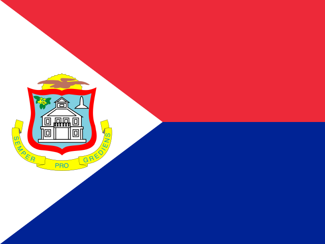 Sint Maarten (SX)
A small hill overlooking Cole Bay on Sint Maarten. Its rocky face makes it stand out, but it is not the island's or the Dutch side's high point.
A 341 m hill with a rocky face on the Dutch side of Saint Martin, between Cole Bay and the Cul-de-Sac valley; no technical route is described, so it is classed as a walk.
There is no documented route; it is a small island hill rather than a mountaineering objective.
No route description found in the sources opened.
Learn more: Wikipedia (fr)
Route guides and trip reports: Peakbagger
Loading forecast…
More forecasts: yr.no · meteoblue · Windy · Mountain-Forecast.com
Suggestions: Mount Obama similar hiking peak Fagradalsfjall similar hiking peak Mount Hillaby similar hiking peak Pic Paradis nearest higher peak
| Peak | Elevation | Distance |
|---|---|---|
| Fort Hill, Sint Maarten | 217 m | 2.1 km |
| Mount Flagstaff | 390 m | 3.3 km |
| Pic Paradis | 424 m | 4.7 km |
| Crocus Hill | 73 m | 19.1 km |
| Morne du Vitet | 286 m | 32.2 km |
| Pilot Rots | 1 m | 47.3 km |
| Old Booby Hill | 138 m | 47.8 km |
| Pirate Cliff | 558 m | 48.4 km |
| Mount Scenery | 870 m | 48.5 km |
| Thais Hill | 32 m | 50.0 km |
| Maskehorne Hill | 32 m | 50.1 km |
| Boven | 296 m | 58.6 km |
AI-assisted research from the cited sources (November 2026, confidence: low). Figures marked estimate are not official counts. Always check current conditions and local advice before you go.
Where sources disagree we show the value from our main data source and note the conflict. All data notes