 My Dream Peaks
Day 11 · Saturday 14 November 2026
AI agents, photos everywhere and help pages
Claude or ChatGPT can now use the site for you via one MCP address; climbs, hut visits and tracks get photos from any device or Immich; and /docs explains it all.
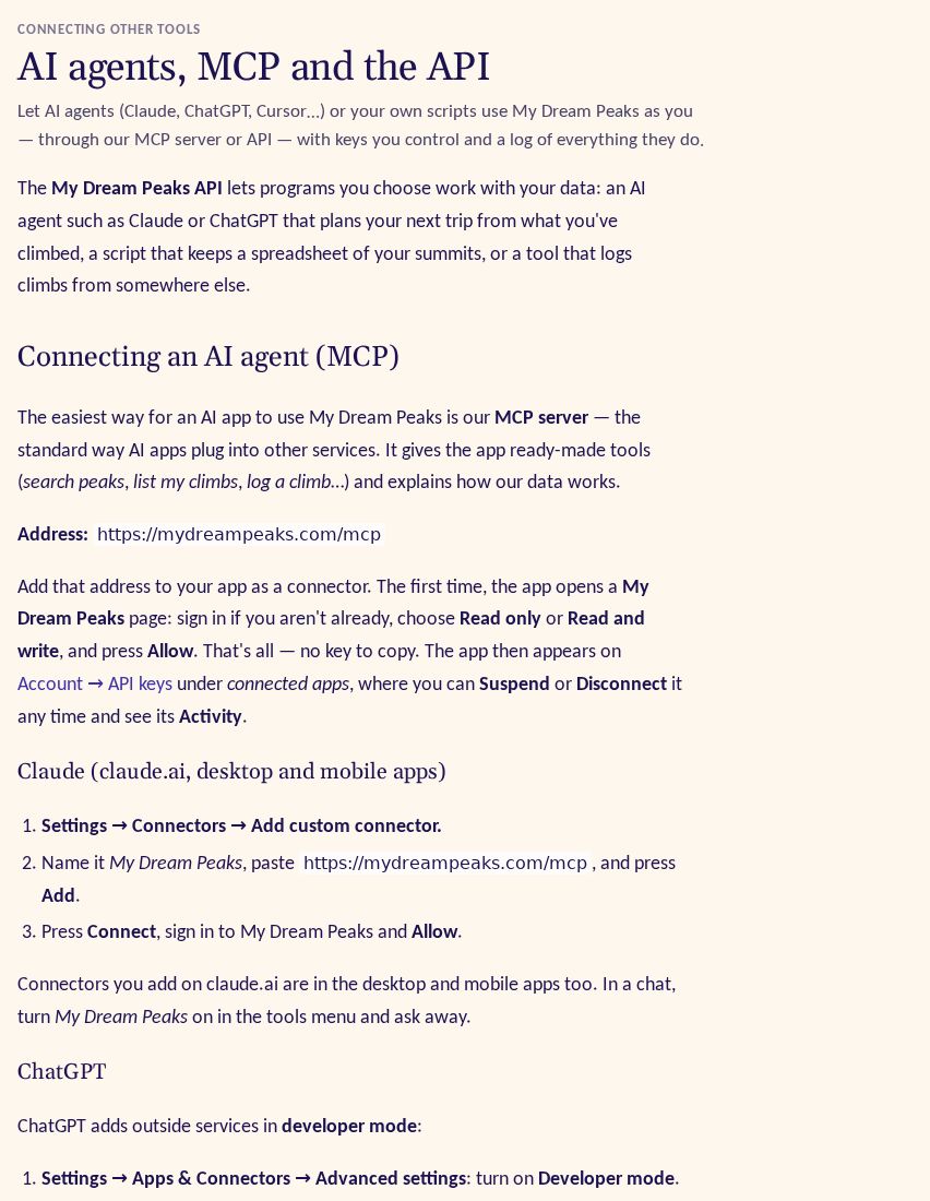
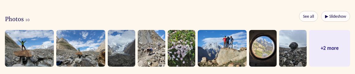
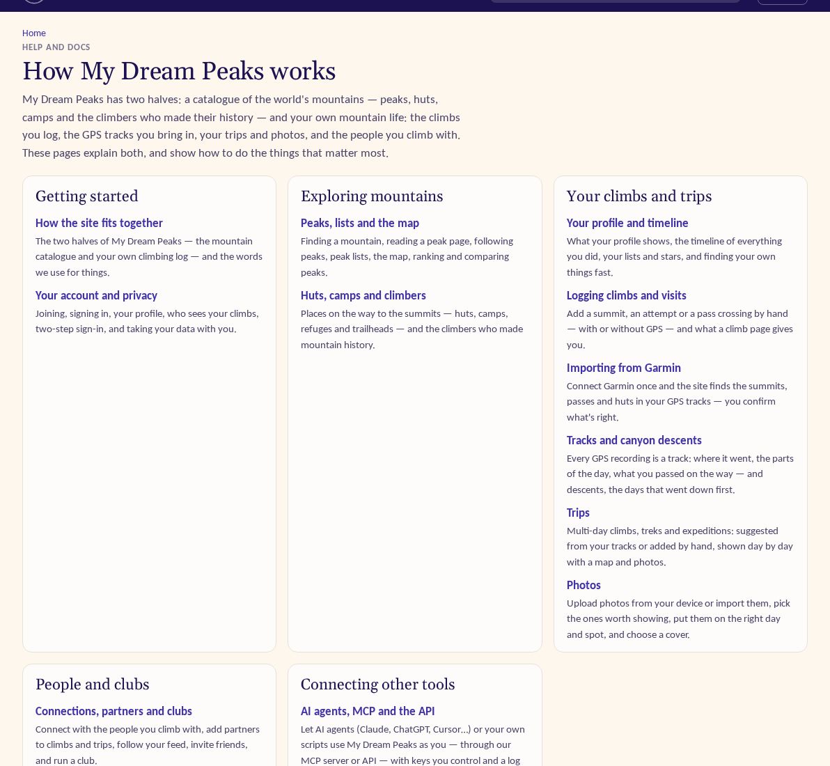
Day eleven was the biggest yet: 62 commits. Three things stand out. AI agents can now use My Dream Peaks on a member's behalf, photos spread from trips to every climb, hut visit and track, and the site finally got help pages (and this blog) that anyone can read.
AI agents can use the site
We want your climbing history to be useful beyond our own pages, and today the most natural place for that is an AI assistant that plans your next trip from what you have already climbed. So in the last hours of the day we built three layers, one on top of the other.
First a plain API at /api/v1, with an OpenAPI description and docs at /api/v1/docs. It covers your climbs, hut
visits, trips, tracks, lists, stars and feed, other members as far as their privacy allows, and the catalogue of
peaks, huts and climbers.
Keys live on Account → API keys: you name each one, choose read only or read and write and an expiry, and can
suspend, resume or revoke it. Every request is logged so you can see exactly what a program did as you.
Second, an MCP server at /mcp, the standard way AI apps plug into other services. Its tools are generated from the
API's own description and run through it, so the same keys, limits and activity log apply, and a read-only key only
gets read tools.
Third, and this is what makes it easy: "Sign in with My Dream Peaks". You paste https://mydreampeaks.com/mcp into
Claude, ChatGPT, Cursor or VS Code as a connector, the app opens our approval page, you pick Read only (the default)
or Read and write, and press Allow. No key to copy. Connected apps appear next to your keys, where you can suspend or
disconnect them.
Photos on every climb, visit and track
Yesterday trips got photos. Today every climb, hut visit and track got its own Manage photos page, a one-row strip, pins on the map and a See all page with slideshow. A photo belongs to the track it was taken on however it arrived, so a picture added to a trip also shows on that day's climb, and the other way round. On peak and place pages you now see your own photos taken within 300 m (only you see them).
Getting photos in got easier too. Every member can now upload straight from their phone or computer, up to 3,000 photos. Google Photos moved under an "Import from…" menu, and a second source joined it: Immich, the self-hosted photo server. You paste a shared album link, choose the trip's days only or the whole album, and the photos arrive as New for you to place; the link is forgotten after the import. Share images for trips, climbs and visits now use your own photo when you pick one as the cover.
Help pages and a public build blog
The site has grown fast enough that it needed a manual. /docs now has eleven pages on how everything works, from
peaks and Garmin to trips and photos (a twelfth, on AI agents, came that night), each with screenshots clipped to the feature they explain. And this build blog went public the same afternoon, linked from the home page,
with each day's post leading with its main features and the AI use behind it.
Also
- Tracks have names now, made from where they went ("Khoburtse to Urdukas" on the Baltoro trek, "Mount Kazbek from Bethlemi Hut") instead of "track 1"; owners can rename them.
- Search finds your own things: climbs, trips, hut visits, places on your tracks and lists come first in the quick search with your avatar, plus a Mine tab.
- Share cards for clubs and for members' own lists.
- Research: a new chunk of climbers and of member peaks; place fixes are now marked so a catalogue rebuild can't undo them, and Everest and Lhotse routes now start at Everest Base Camp (South), with 19 new route links.
- A traffic chart that showed 25,000 requests a second instead of about 7 now counts correctly.