 My Dream Peaks

- Total gain
- 1,100 m Estimate
- Length
- 10 km Estimate
Sources describe dense forest on both summits but no route, time or grade.
Learn more: Wikipedia · Wikipedia (es)
2,182 m 7,159 ft

Stratovolcano in central El Salvador
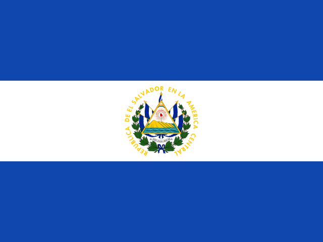 El Salvador (SV)
Chichontepec's twin summits dominate central El Salvador, and its slopes hold one of the country's larger well-preserved forests. The volcano also has hot springs and a coffee-growing history.
A forested double-summit stratovolcano (about 2,180 m) in central El Salvador; no technical terrain is described, but route details were not found in the sources opened.
We found no route description, trailhead or timing in the sources opened. Expect a forested volcano hike; arrange route and access details locally.
Sources describe dense forest on both summits but no route, time or grade.
Learn more: Wikipedia · Wikipedia (es)
Loading forecast…
More forecasts: yr.no · meteoblue · Windy · Mountain-Forecast.com
Suggestions: Mount Kosciuszko similar hiking peak Mount Athos similar hiking peak Mount St. Helens similar hiking peak Santa Ana Volcano nearest higher peak
| Peak | Elevation | Distance |
|---|---|---|
| Ilopango | 442 m | 24.4 km |
| Cerro El Taburete | 828 m | 37.4 km |
| Taburete | 1,172 m | 37.5 km |
| Tecapa | 1,593 m | 37.9 km |
| Usulután | 1,449 m | 44.2 km |
| Guazapa | 1,438 m | 45.4 km |
| Cerro El Picacho | 1,940 m | 48.3 km |
| San Salvador Volcano | 1,893 m | 51.7 km |
| Cerro El Pacayal | 1,012 m | 56.3 km |
| Chinameca | 1,300 m | 56.3 km |
| San Miguel | 2,130 m | 63.9 km |
| Cerro Congolón | 2,123 m | 72.7 km |
AI-assisted research from the cited sources (November 2026, confidence: low). Figures marked estimate are not official counts. Always check current conditions and local advice before you go.
Where sources disagree we show the value from our main data source and note the conflict. All data notes