It is the highest point of the British Leeward Islands, a dormant volcano whose trail climbs from farmland through rainforest into cloud forest. At the end you look into a kilometre-wide crater.
A well-trodden rainforest trail to viewpoints on the crater rim, done as a half-day hike. The true summit is not on the trail.
Dangers and challenges
A moderate half-day hike through rainforest and cloud forest to the crater rim, about 4 hours round trip. The trail stops at the rim and does not reach the 1,156 m high point.
LowWeatherCloud forest above about 900 m, often wet and misty.
LowExposure / fallsSteeper, muddier ground near the crater rim.
Fun facts
Until independence day in 1983 the volcano was called Mount Misery, and many older residents still use that name. source
The crater held a shallow lake until 1959, and the lake had formed again by 2006. source
AI-assisted research from the cited sources (November 2026, confidence: medium). Figures marked estimate are not official counts. Always check current conditions and local advice before you go.
 My Dream Peaks

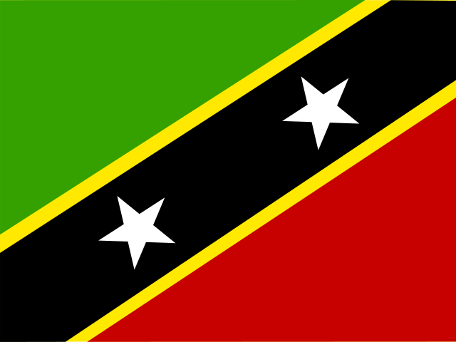 St. Kitts and Nevis (KN)
